
IMPERFECT
IMAGES
Phantom (Non)Places
OPERATIVE IMAGES
INVISIBLE IMAGES
TOTAL IMAGES
HIDDEN GEOGRAPHIES
COUNTER-MAPPING
The space in which we live today is a space which is computed, assembled, and multi-perspectival. Maps are no longer necessarily objective, because they are based on data […] The world of today is a super-networked self-organizing datascape, rather than a fixed reality. There are many interpretations of reality co-existing, each presented as a total and unique one. So, all images of it are distorted and our visual conception of reality, by mapping it.
Ana Peraica, The Age of Total Images, 2019
In the post-digital context, the omnipresence of image capture devices, combined with the integration of artificial intelligence, is shaping the way we interact with and interpret the territory. Digital cartography presupposes an automated representation of space, mediated by algorithms.
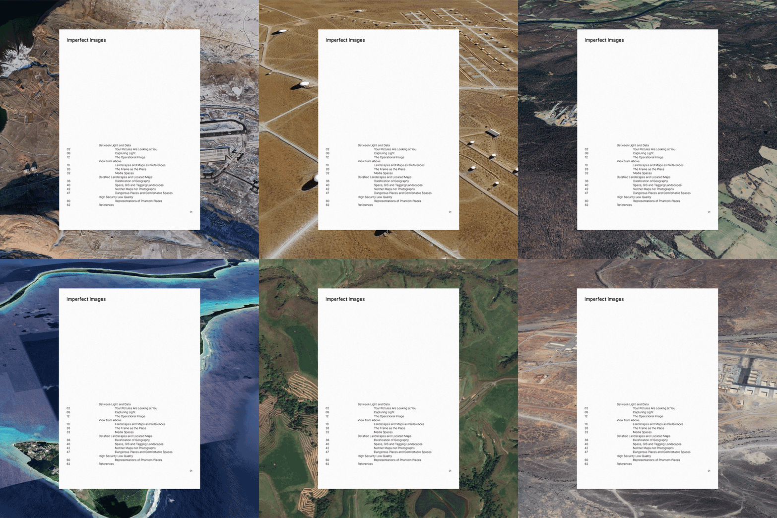
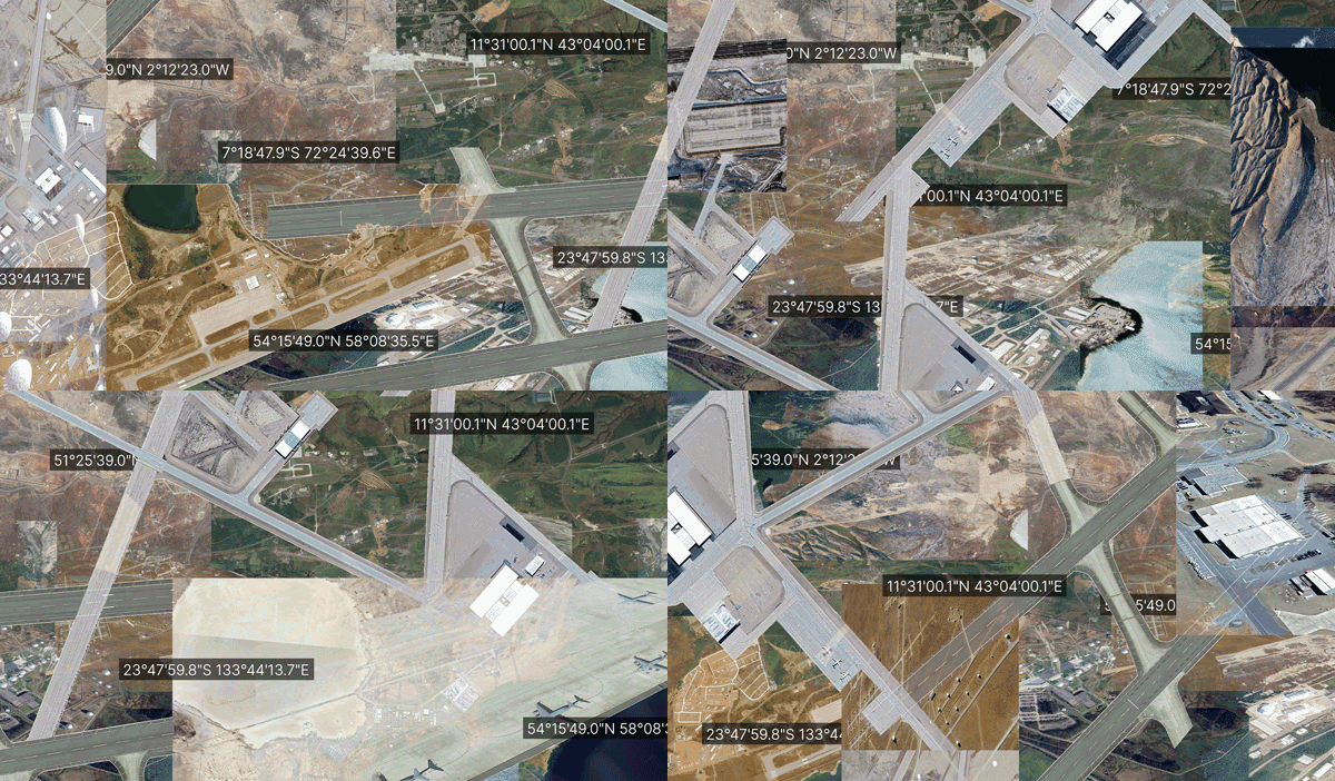
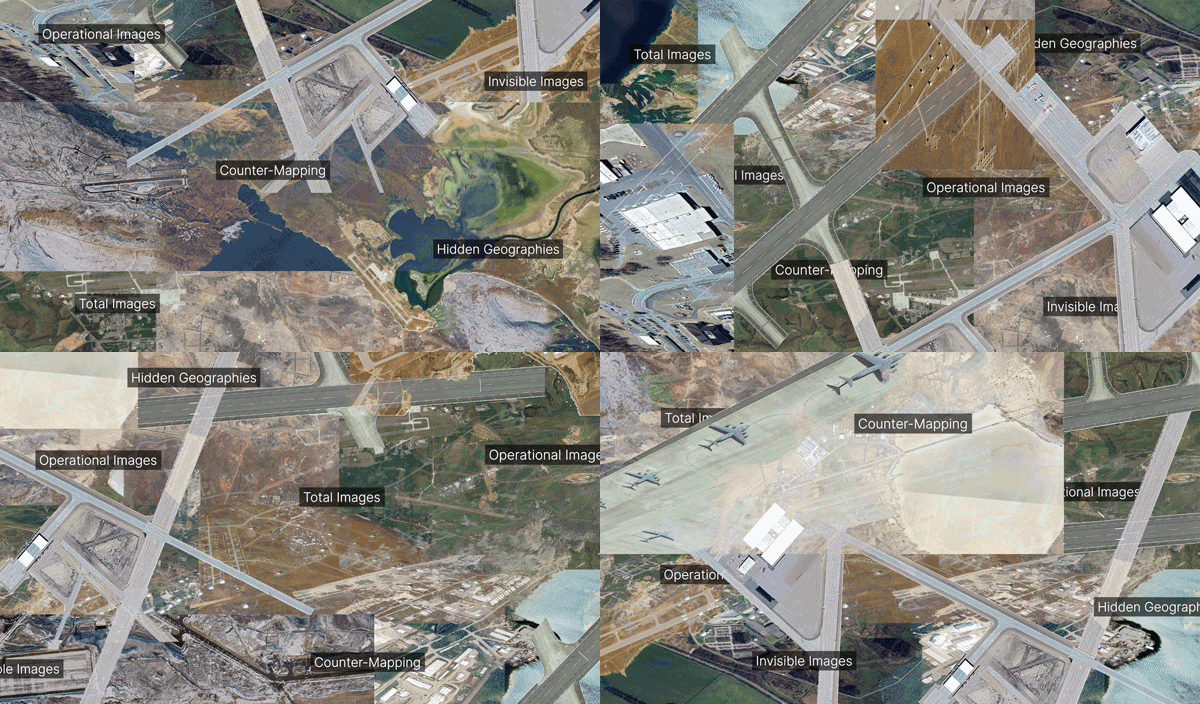
Imperfect Images investigates the invisible processes of digital cartography, focusing on the fragmentation and stratification of operative images used in the spatial representation of locations on the Google Earth platform. Through the analysis of coordinates associated with invisible infrastructures, the project explores the symbiosis between the experiential and the hidden. Based on the collection and manipulation of digital images of places with invisible power infrastructures, a website was developed to build an explorable space. A printed publication complements this object with a selection of texts related to the project's theme, delving into the theoretical concepts and technical aspects that underpin the research.
Through these components, Imperfect Images proposes a critique of the apparent neutrality of digital cartographic images. By revealing their processed and invisible nature, it invites us to rethink the map as an instrument for representing geographical reality and as a device of power.
The space in which we live today is a space which is computed, assembled, and multi-perspectival. Maps are no longer necessarily objective, because they are based on data […] The world of today is a super-networked self-organizing datascape, rather than a fixed reality. There are many interpretations of reality co-existing, each presented as a total and unique one. So, all images of it are distorted and our visual conception of reality, by mapping it.
Ana Peraica, The Age of Total Images, 2019
OPERATIVE IMAGES
INVISIBLE IMAGES
TOTAL IMAGES
HIDDEN GEOGRAPHIES
COUNTER-MAPPING
In the post-digital context, the omnipresence of image capture devices, combined with the integration of artificial intelligence, is shaping the way we interact with and interpret the territory. Digital cartography presupposes an automated representation of space, mediated by algorithms.
Imperfect Images investigates the invisible processes of digital cartography, focusing on the fragmentation and stratification of operative images used in the spatial representation of locations on the Google Earth platform. Through the analysis of coordinates associated with invisible infrastructures, the project explores the symbiosis between the experiential and the hidden. Based on the collection and manipulation of digital images of places with invisible power infrastructures, a website was developed to build an explorable space. A printed publication complements this object with a selection of texts related to the project's theme, delving into the theoretical concepts and technical aspects that underpin the research.
Through these components, Imperfect Images proposes a critique of the apparent neutrality of digital cartographic images. By revealing their processed and invisible nature, it invites us to rethink the map as an instrument for representing geographical reality and as a device of power.
Inês Gartner Velasco